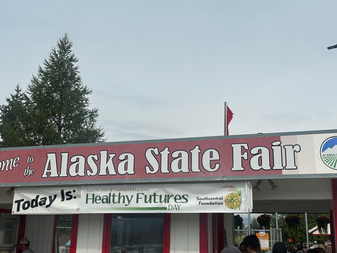
29-31st August
Well not quite a dash but a spur of the moment decision while doing our groceries in Fairbanks (P- the advantages of not having fixed plans for our road trip!) sees us driving up the Dalton Highway towards Prudhoe Bay. Although we have little intention of getting all the way, the Brooks Range at the half way point is our main goal. We have a couple of spare days before heading back towards Anchorage so Philip could not possibly have some time relaxing, instead we do some more serious driving. (P- research advised me there are no Quilt shops on the Dalton Hwy. so that’s a sound reason to tour the road)
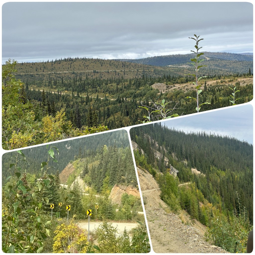
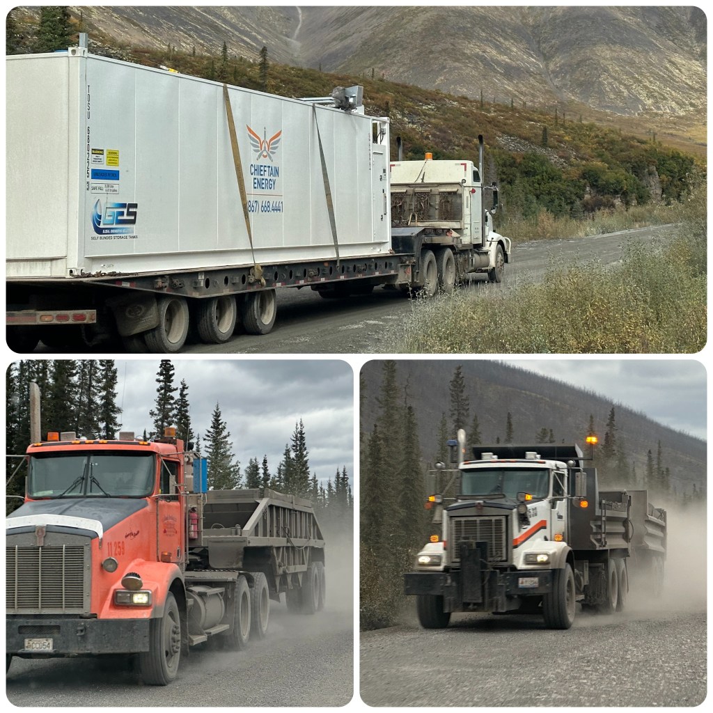
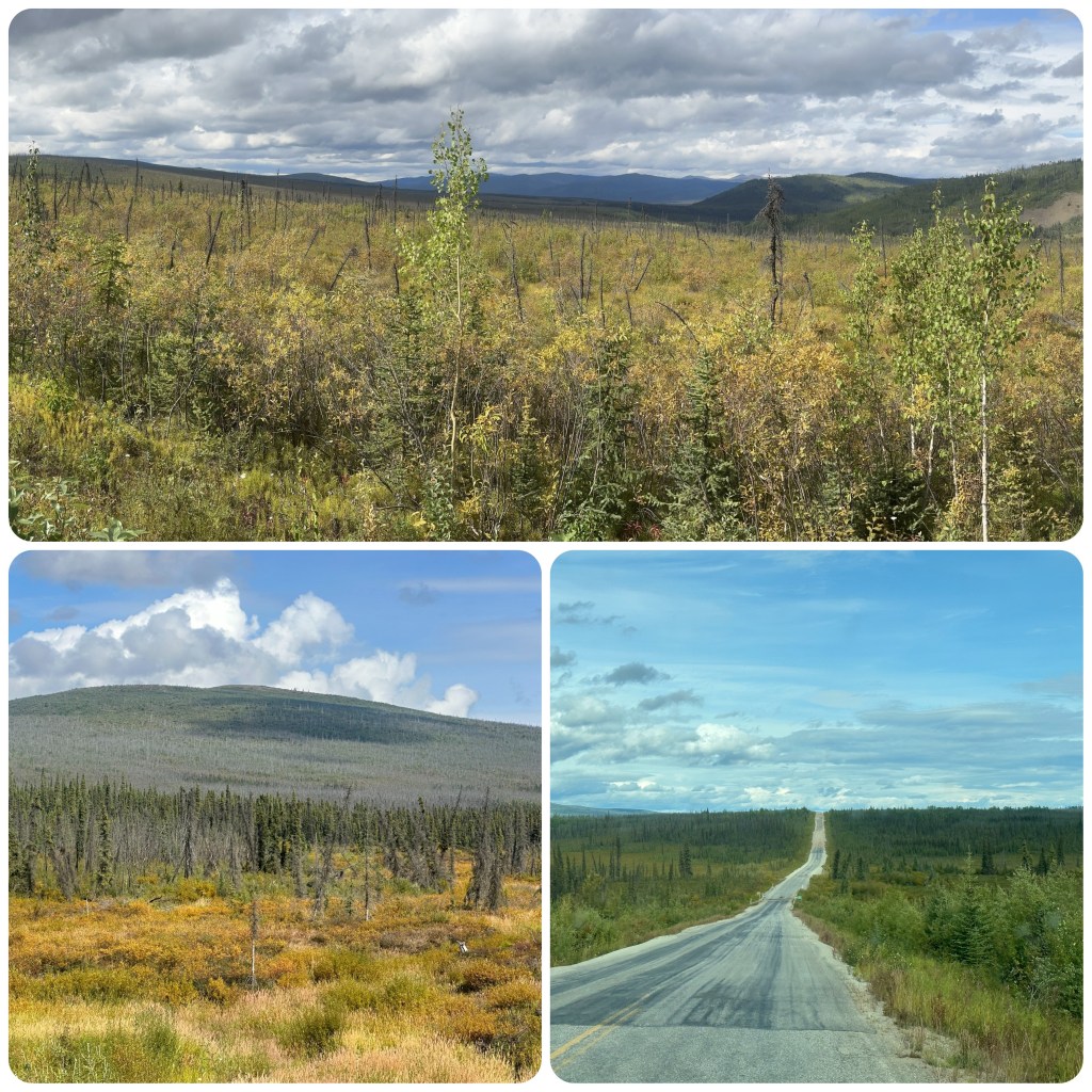
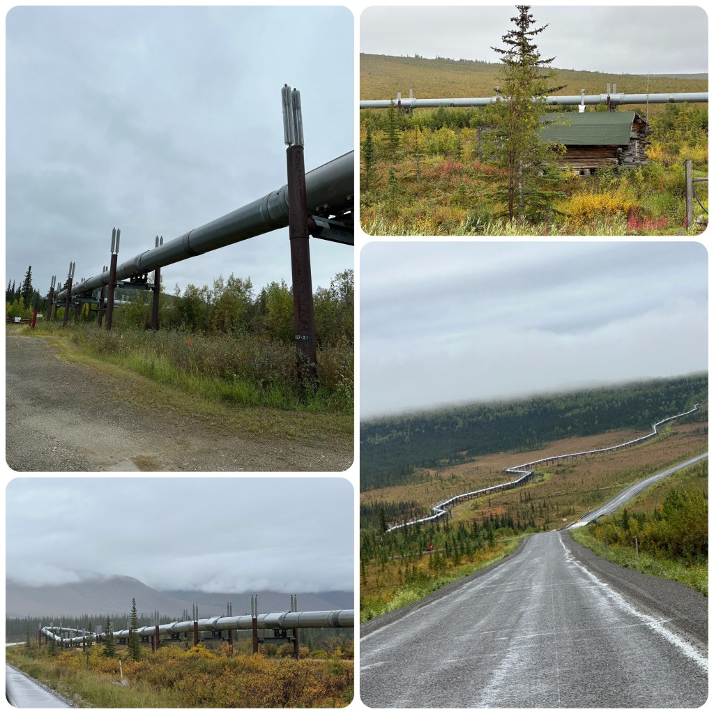
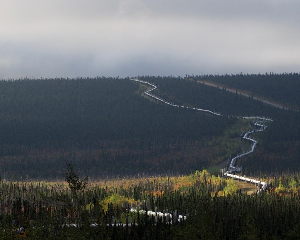
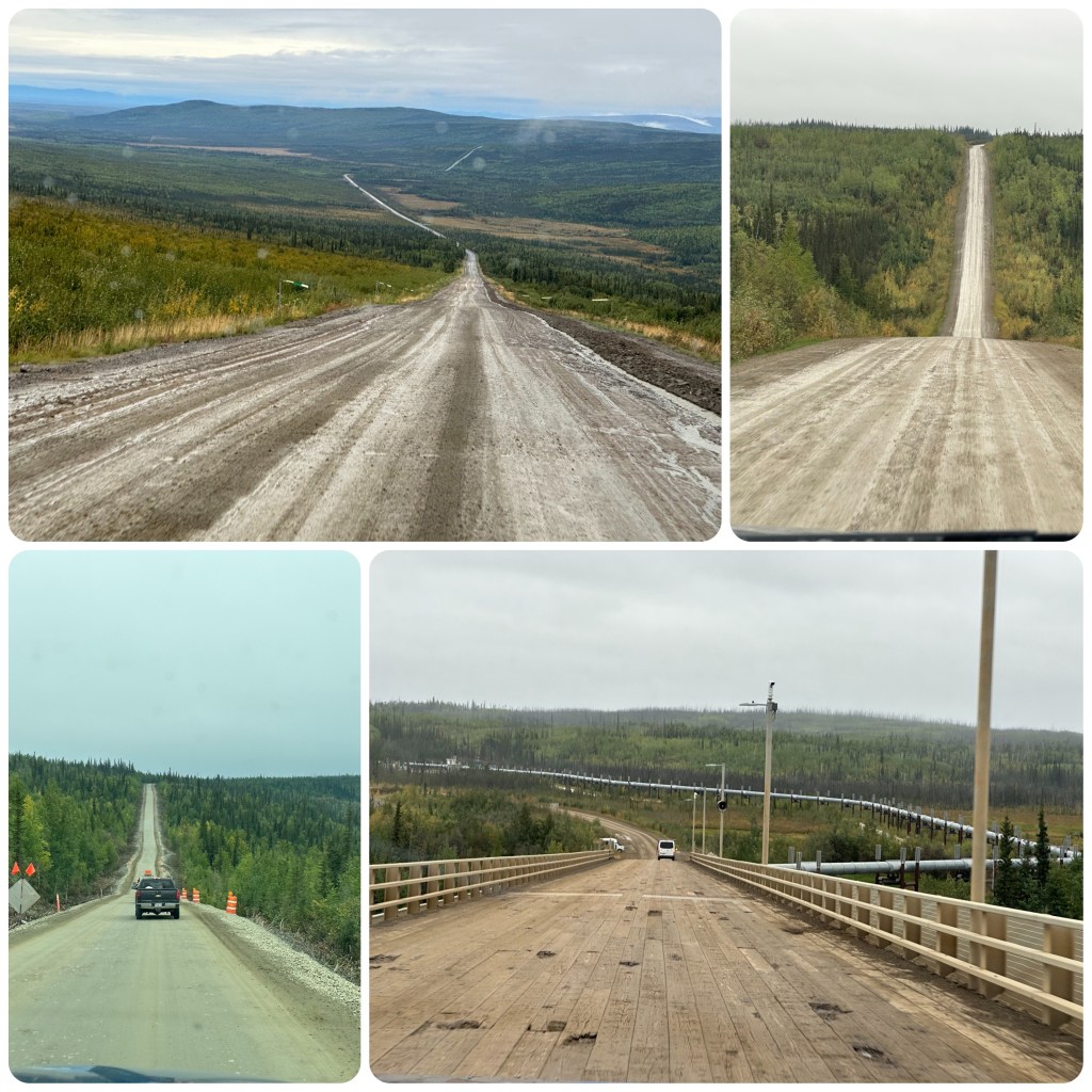
The Dalton Highway is 415 mile (668 k) long, from Fairbanks to Prudhoe Bay on the Arctic Ocean. The Highway follows the Trans Alaska pipeline, up and down hills, through forested valleys and over the Brooks Range at Atigun Pass and then across the treeless north slope. It is one of Alaskas most remote, dangerous and challenging roads. It is still considered a haul road and is continued to be used by all types of vehicles from motor bikes to cars to freight haulers.
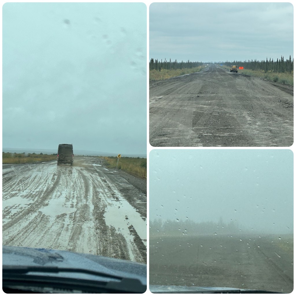
After filling up with fuel in Fox we turn onto the Dalton and onto the gravel. Before too long we are waiting at a stop for a pilot car to guide us through 20+ mile of roadworks. Apparently (according to social media “arm chair” experts) this is due to a large washout or landslide. (Later learning that is not correct and it is for realignment of the road).
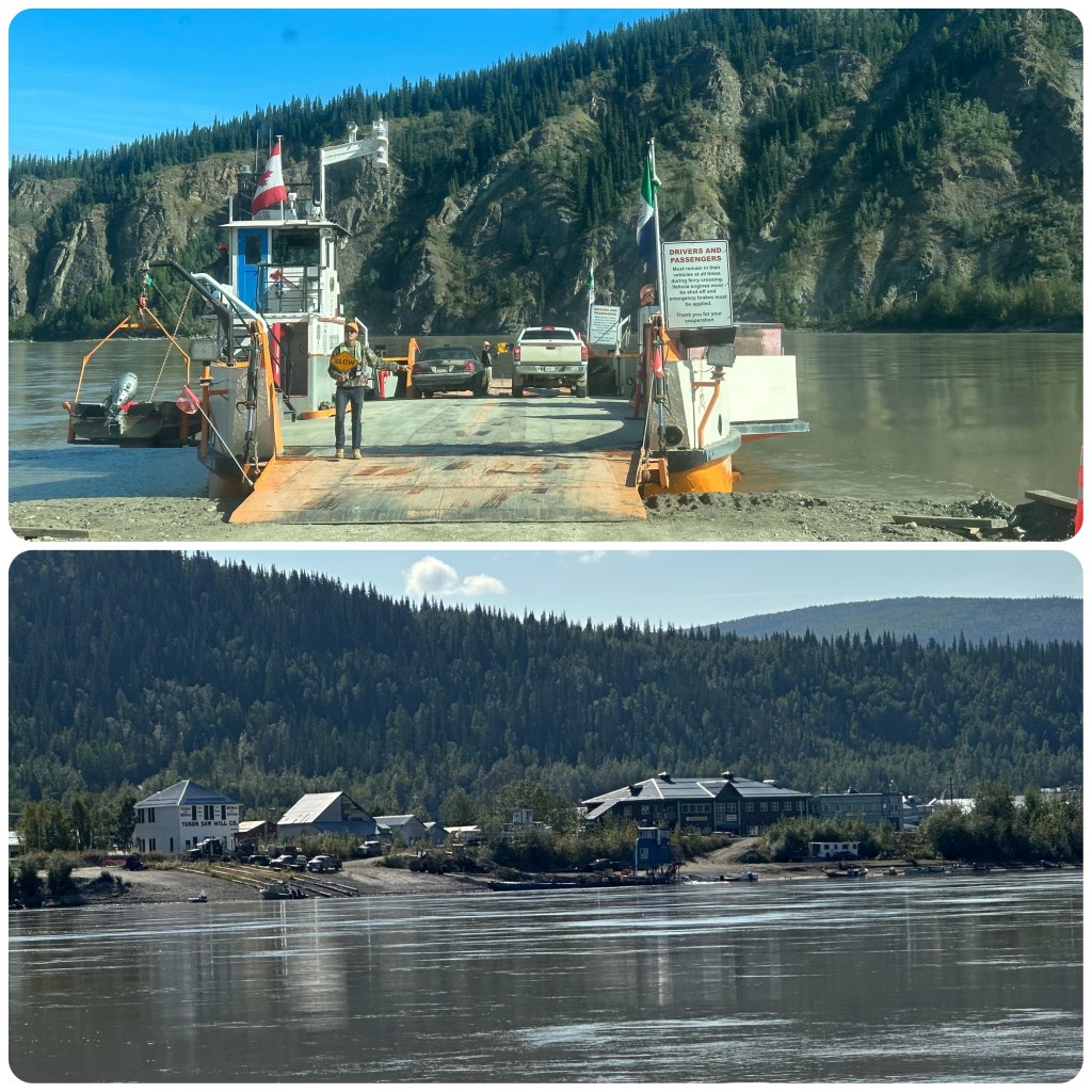
The Yukon River Crossing, a bridge this time, is 2290 feet long (698m)and has a 6% grade. It was completed in 1975 and upgraded in 1999. There is a short track to a viewing platform under the pipeline and bridge. This is the only bridge that crosses the 1980 mile (3190 k) river. The Bridge also Carries the Aleyska oil pipe line across the Yukon river. A short way up the road is our campground for the night. Again no one but us. The season is coming to an end very quickly.
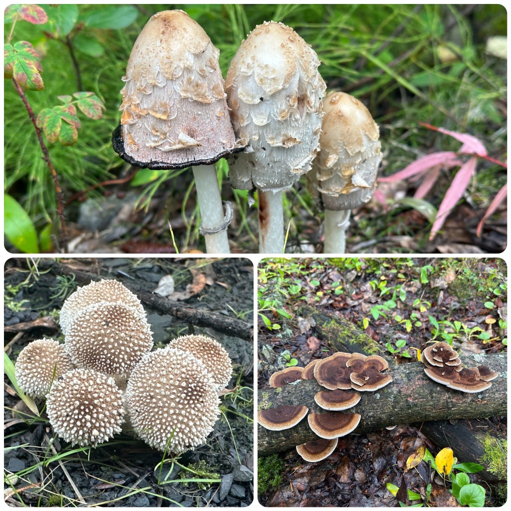
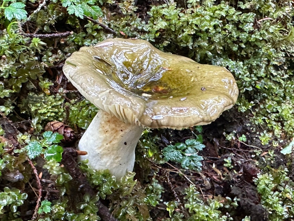
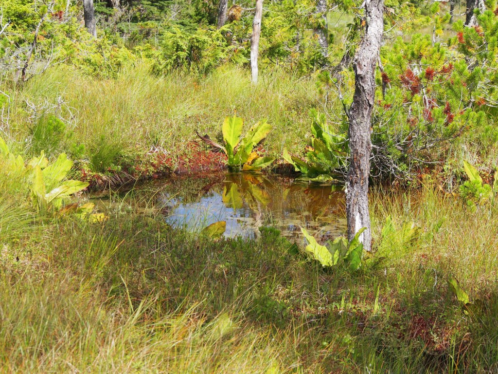
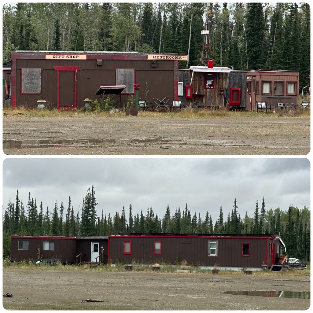
The campground is just near the Hot Spot Cafe, a now defunct facility. We wander around the remains of the buildings, finding nothing much of interest apart from the accommodation that looks as though someone walked out yesterday and just left everything behind. Linen still on the bed, guitar against the wall and shoes inside the doorway. Pretty sad really. During Highway construction mammoth bones were found near here.
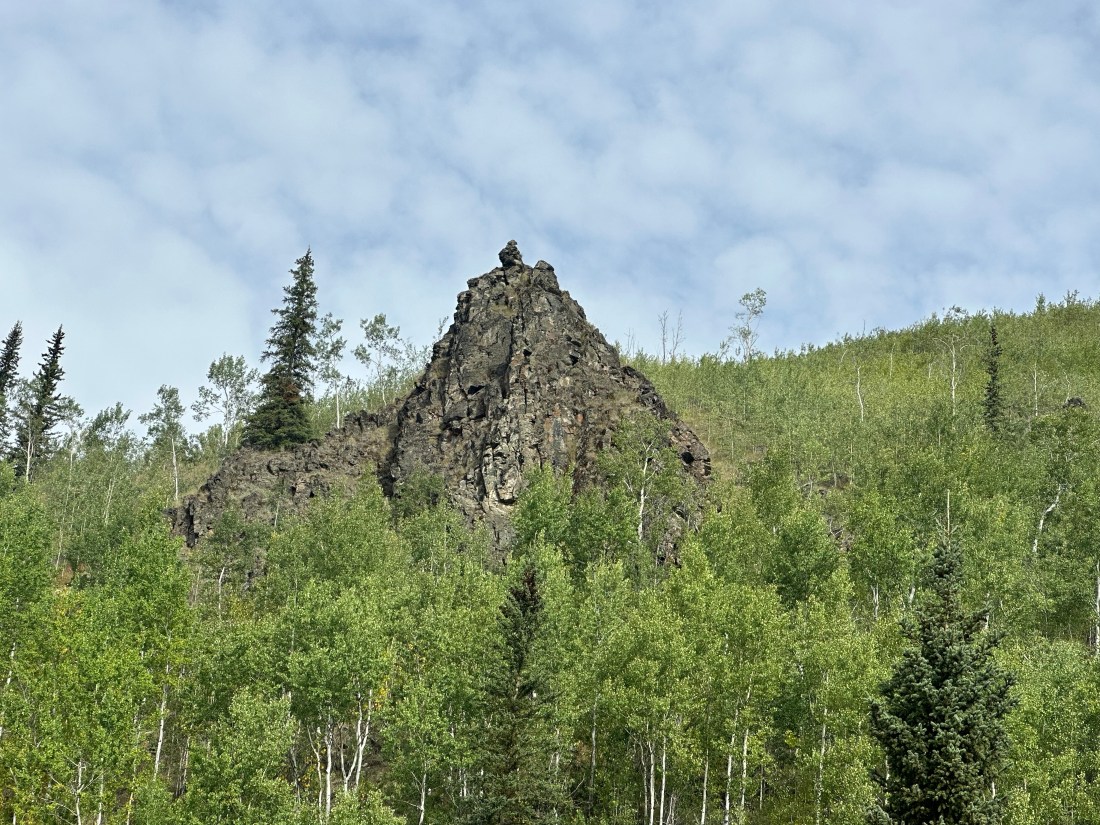
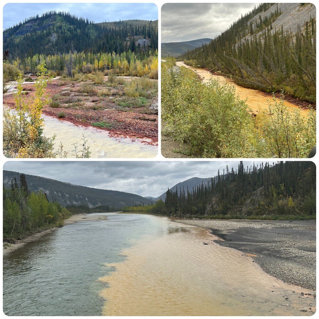
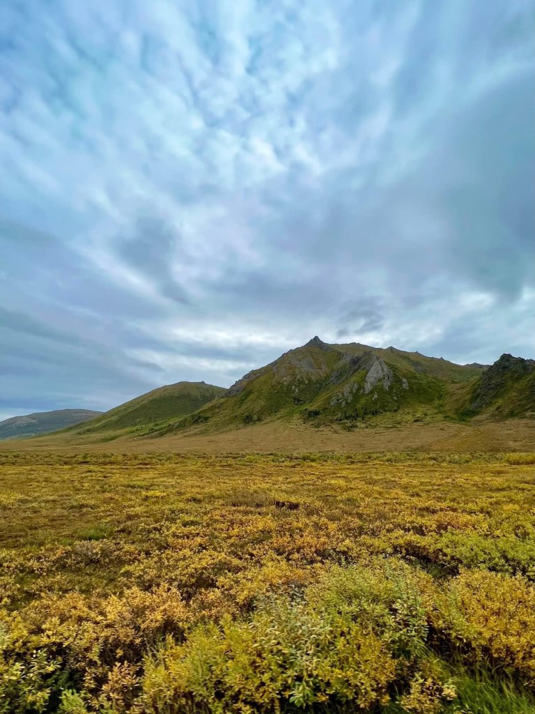
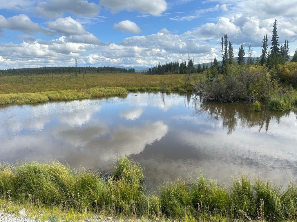
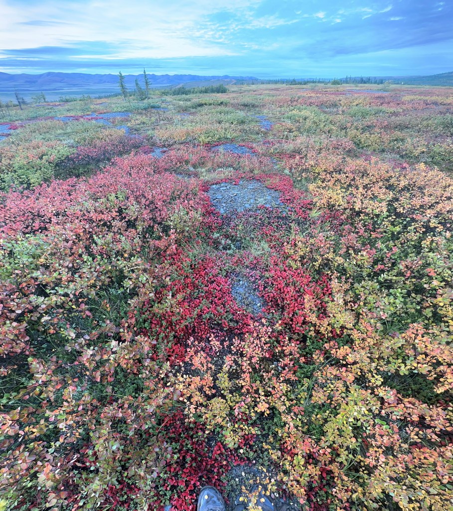
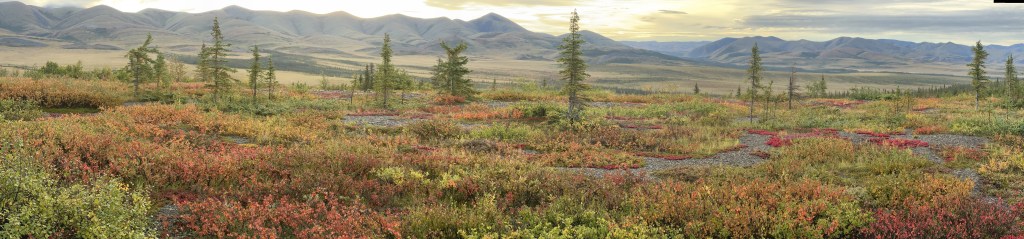
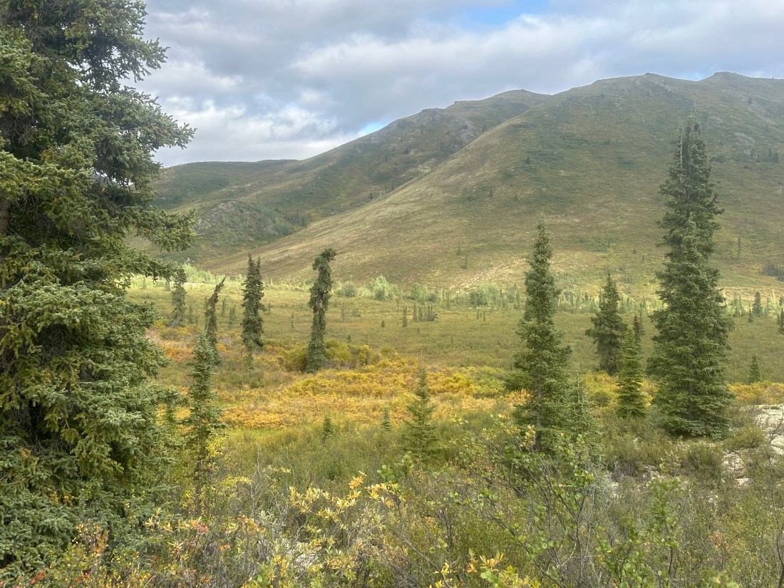
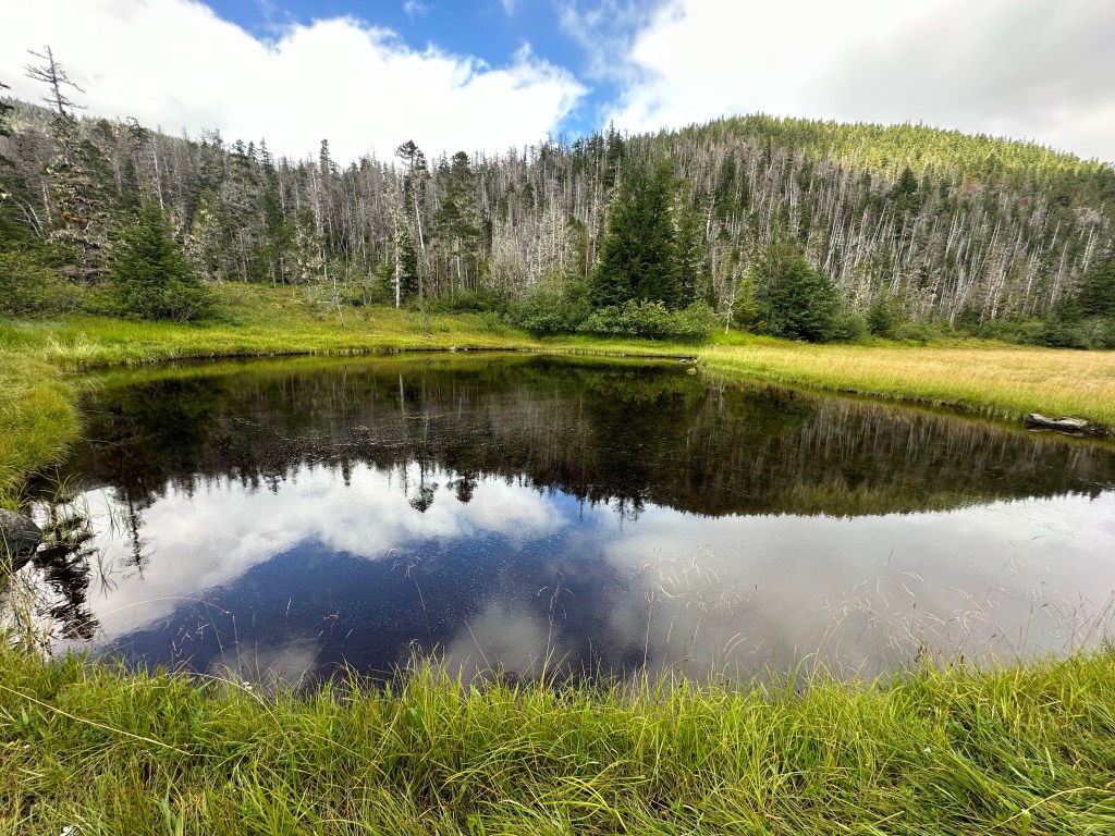
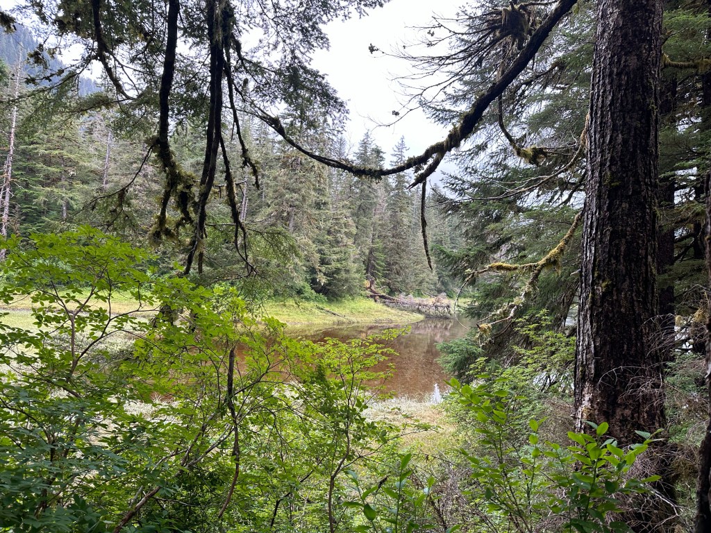
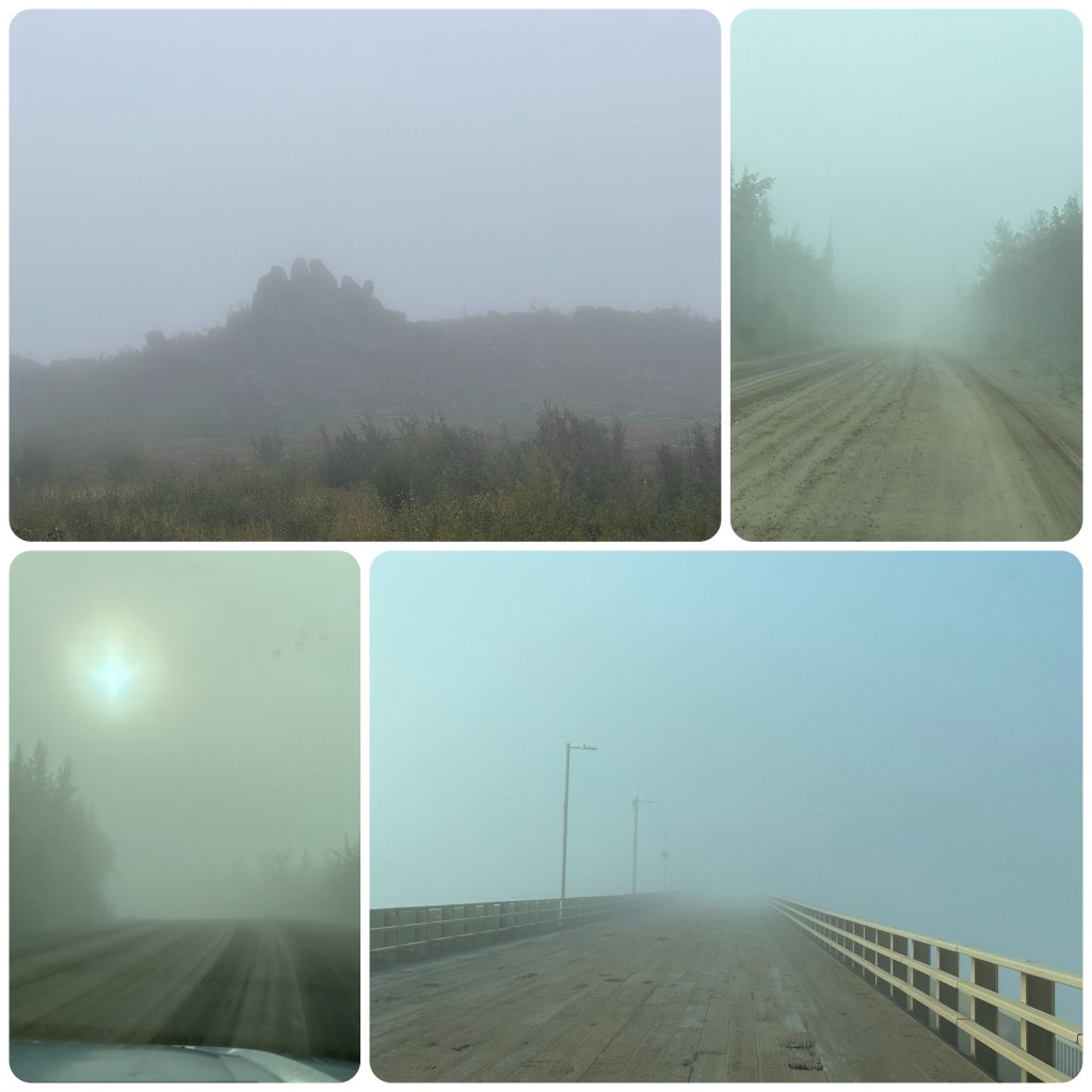
The road is a series of frost heaves, pot holes, corrugations and mud, interspersed with cloud, rain and fog. We continue to drive up to Coldfoot enjoying the scenery, when visible and refuel. Stopping by the Visitors centre we chat to the staff there about the road further north. We would really have liked to go over the Atigun Pass but the road apparently deteriorates more after Sukakpak Mountain. On their advice we continue on to Sukakpak as it’s very picturesque there and stop for lunch while enjoying the view of the mountain. The pressures on the limestone have changed much of the mountain into marble, with veins of copper, quartz, crystalline and cinnabar in the mountain. While lunching, the fog/cloud ahead of us lowers even more and as the Atigun Pass is twice as high as any we have already been over we make the decision to turn back. We will have to save the rest of this trip for another day.

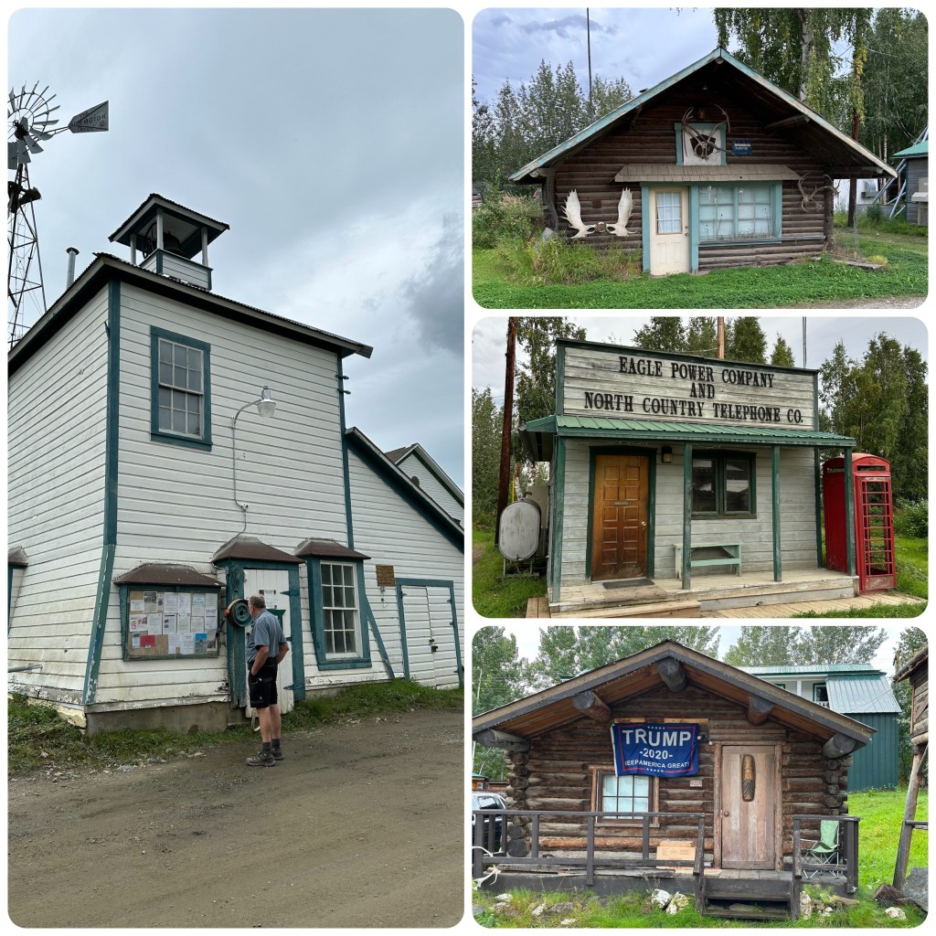
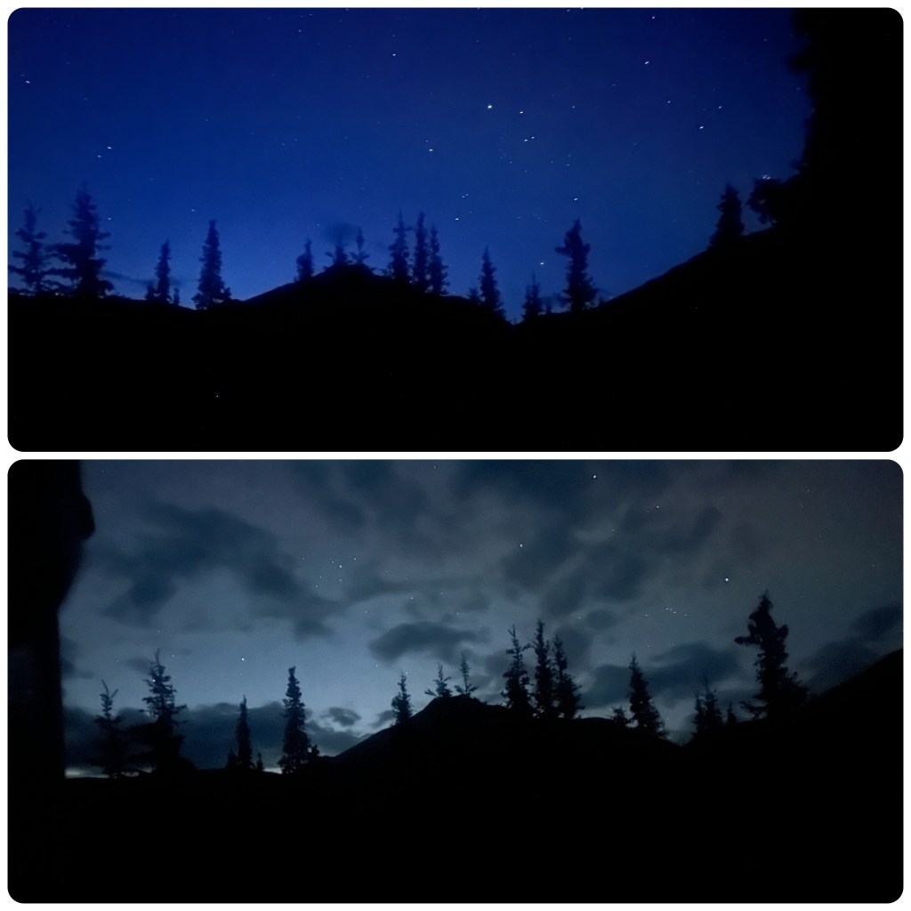
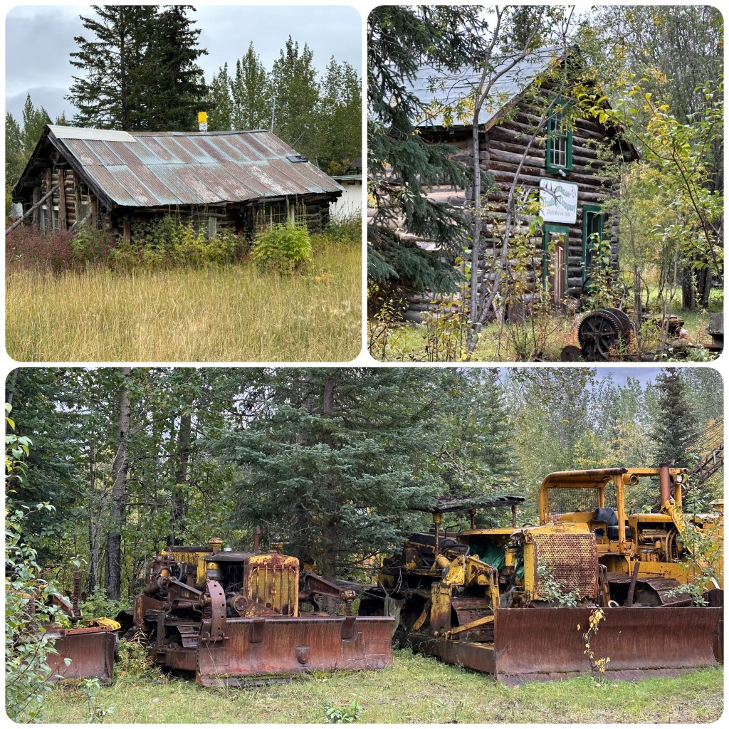
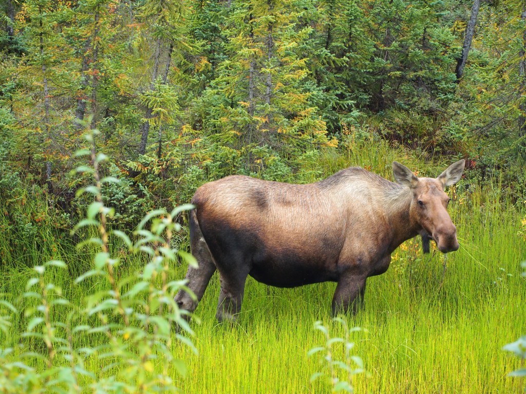
On our return we divert a few miles to the Rustic town of Wiseman, Alaska, first settled in 1909 as (and still is) a gold mining town. (P- If I was looking for a place to be a Hermit and go into recluse it would be the perfect community!) We drive and wander around this quaint place and are welcomed to visit the local “Chapel” well local worship place. Wiseman is a well worthwhile diversion. To make our return trip special we spotted a moose right by the roadside. Stopping to get some great photos. We stop at the Arctic Circle Campground for the night with only a couple of other campers there. Alas no Northern Lights here either too much cloud.

31st
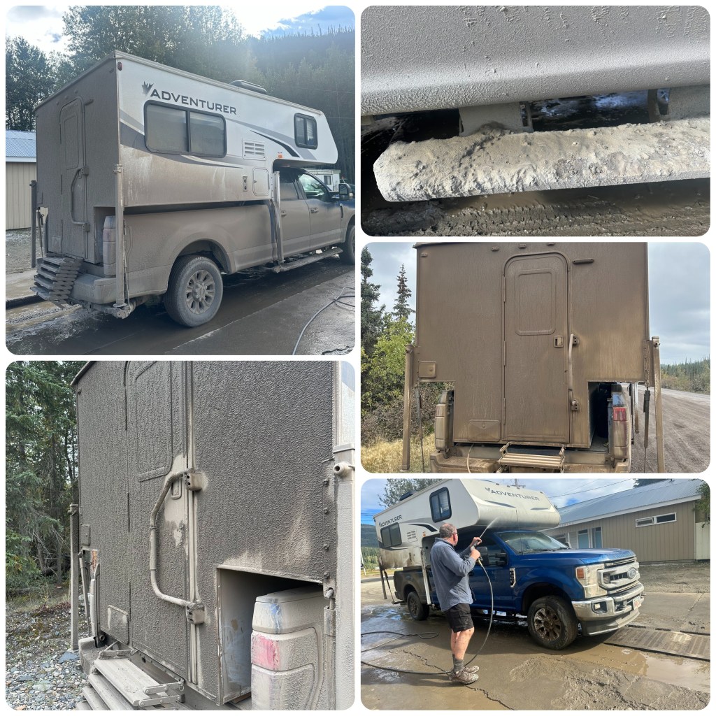
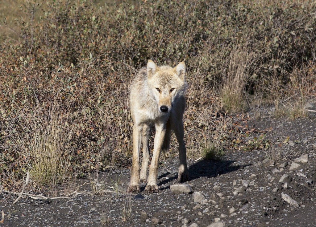
From the Arctic Circle we continue south heading for Fairbanks. This morning around 50 miles of fog with 100 -200 feet of visibility and it’s slow going. As we crest one hill 5 wolves cross ahead of us. How awesome to see them. Back in Fairbanks we book into the Rivers Edge RV Park and have lunch before using their car wash to once again discover our vehicle is blue not dirty brown. 1 1/2 hours to get the gluey mud off. No more dirt roads for us this trip.
The Dalton Highway is interesting in that it follows the Alaska Pipeline but it is not as scenic as the Dempster Highway.
(P- We knew we wouldn’t get to Prudhoe Bay the location of Alaska’s North Slope Oil Wells.
Always another day and another reason to visit Alaska again!
-The North Slope is home to America’s National Petroleum Reserve Alaska, area over 1/4 million acres.
-Over 1000 wells are connected by a network of pipes and pumps to the Trans Alaska Pipeine which snakes its way approx 800 miles (1287 klm) to the port of Valdez where there is deep water, ice free port facilities and a refinery.
– 11 pump stations assist the flow of the crude oil to Valdez in the 48” (1.2m ) diameter insulated pipe
– The pipe is a continual series of bends to allow for expansion and contraction, the above ground section (over half the pipes total length)
– The pipe runs above ground in the permafrost areas so that the hot oil does not melt the permafrost environment. Over 78,000 refrigerant filled legs support the pipe.
In my opinion this pipeline is a fascinating engineering achievement!)